 vesseltracker.com
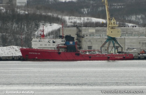
Puerto Argentino
Current StatusWhere is the vessel?
Puerto Argentino is currently in Near Mar Del Plata, based on AIS data received about 2h ago.
Latest AIS update:
Current position: 37.98355° S, 57.49964° W (Near Mar Del Plata)
Average speed (last 7 days): Loading…
Average speed (last 30 days): Loading…
Vessel profile: Puerto Argentino is a Offshore Tug Supply Ship with dimensions 16m x 81m.
This page combines live AIS, route history, probable destination signals, nearby traffic, and port activity for practical vessel monitoring.
The current position of vessel Puerto Argentino is -37.98355 lat / -57.49964 lng. Updated: 2026-04-19 05:33:49 UTCNearest reference points:
- Near Mar Del Plata
- Near NECOCHEA
- 16 nm N of Cabo San Antonio
Details:
Live Vessel Puerto Argentino Analytics (details, animations, etc.)
Recent AIS points (UTC):
2026-04-19 00:16:05 UTC · -37.98351, -57.50029 · SOG 0.1 kn · COG -1°2026-04-19 01:36:48 UTC · -37.98370, -57.50002 · SOG 0.5 kn · COG -1°
2026-04-19 03:46:05 UTC · -37.98380, -57.49983 · SOG 0 kn · COG -1°
2026-04-19 05:33:49 UTC · -37.98355, -57.49964 · SOG 0.3 kn · COG -1°