 vesseltracker.com
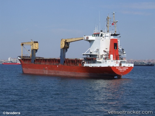
Vessel Maria Queen IMO: 8421987, MMSI: 667957000 General Cargo Ship
UTC, 34.45521, 35.82592, course: -1, speed: 0
UTC, 34.45522, 35.82592, course: -1, speed: 0
2026-02-16 14:01:28 UTC, 34.45521, 35.82591, course: -1, speed: 0
Live AIS position:
UTC. Near Tripoli),
updated 2026-02-16 14:01:28 UTC.
Find the position of the vessel Maria Queen on the map. The latter are known coordinates and path.
marine traffic ship tracker show on live map
The current position of vessel Maria Queen is 34.45521 lat / 35.82591 lng. Updated: 2026-02-16 14:01:28 UTCDetails:
Last coordinates of the vessel:
UTC, 34.45527, 35.82591, course: -1, speed: 0UTC, 34.45521, 35.82592, course: -1, speed: 0
UTC, 34.45522, 35.82592, course: -1, speed: 0
2026-02-16 14:01:28 UTC, 34.45521, 35.82591, course: -1, speed: 0