 vesseltracker.com
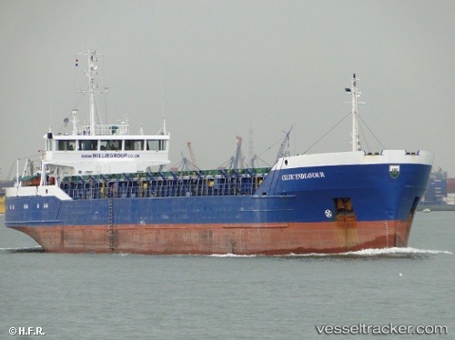
 BRIGITTE F
Current Status
Where is the vessel?
BRIGITTE F is currently in Near Grankullavik, based on AIS data received less than 1h ago.
Latest AIS update:
Current position: 57.34765° N, 17.27840° E (Near Grankullavik)
Average speed (last 7 days): Loading…
Average speed (last 30 days): Loading…
Vessel profile: BRIGITTE F is a General Cargo with dimensions m x m.
This page combines live AIS, route history, probable destination signals, nearby traffic, and port activity for practical vessel monitoring.
The current position of vessel BRIGITTE F is 57.34765 lat / 17.27840 lng. Updated: 2026-04-05 14:24:55 UTCNearest reference points:
- Near Krokek
- Near Stora Vika
- Near SODERTALJE
Currently sailing under the flag of Panama ![]()
Details:
Live Vessel BRIGITTE F Analytics (details, animations, etc.)
Recent AIS points (UTC):
2026-04-05 08:08:24 UTC · 56.35849, 16.89964 · SOG 9.8 kn · COG 12°2026-04-05 09:42:14 UTC · 56.61297, 16.98773 · SOG 9.9 kn · COG 12°
2026-04-05 12:06:47 UTC · 56.99502, 17.13851 · SOG 9.4 kn · COG 12°
2026-04-05 14:24:55 UTC · 57.34765, 17.27840 · SOG 9 kn · COG 1°