 vesseltracker.com
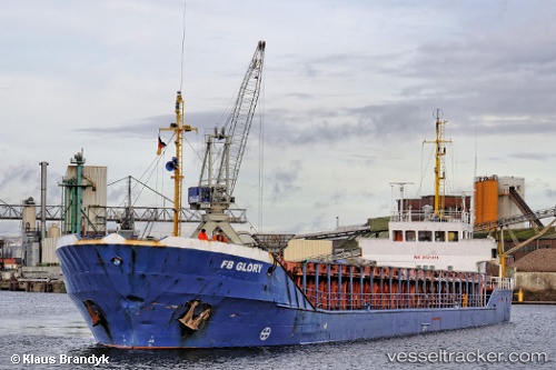
 Hazal
Hazal
Current Status
Where is the vessel?
Hazal is currently in Near Iskenderun, based on AIS data received less than 1h ago.
Latest AIS update:
Current position: 36.60275° N, 36.13688° E (Near Iskenderun)
Average speed (last 7 days): Loading…
Average speed (last 30 days): Loading…
Vessel profile: Hazal is a General Cargo Ship with dimensions 82m x 82m.
This page combines live AIS, route history, probable destination signals, nearby traffic, and port activity for practical vessel monitoring.
The current position of vessel Hazal is 36.60275 lat / 36.13688 lng. Updated: 2026-04-13 16:10:15 UTCNearest reference points:
- Near Iskenderun
- Near DORTYOL
- 13 nm W of Iskenderun
Currently sailing under the flag of Turkey ![]()
Hazal built in 1986 year
Deadweight:
1900 tDetails:
Live Vessel Hazal Analytics (details, animations, etc.)
Recent AIS points (UTC):
2026-04-13 10:01:13 UTC · 36.60289, 36.13632 · SOG 0 kn · COG 276°2026-04-13 12:10:14 UTC · 36.60261, 36.13632 · SOG 0.1 kn · COG 302°
2026-04-13 14:16:16 UTC · 36.60316, 36.13681 · SOG 0.1 kn · COG 273°
2026-04-13 16:10:15 UTC · 36.60275, 36.13688 · SOG 0 kn · COG 297°