 vesseltracker.com
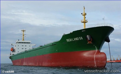
 EN JI 17
Current Status
Where is the vessel?
EN JI 17 is currently in Near Dalzavod, based on AIS data received about 1h ago.
Latest AIS update:
Current position: 43.04608° N, 131.93031° E (Near Dalzavod)
Average speed (last 7 days): Loading…
Average speed (last 30 days): Loading…
Vessel profile: EN JI 17 is a Bulk Carrier with dimensions 22m x 147m.
This page combines live AIS, route history, probable destination signals, nearby traffic, and port activity for practical vessel monitoring.
The current position of vessel EN JI 17 is 43.04608 lat / 131.93031 lng. Updated: 2026-04-10 03:34:55 UTCNearest reference points:
- Near Dalzavod
- Near Vostokmorservice
- Near Vladivostok
Currently sailing under the flag of Sierra leone ![]()
EN JI 17 built in 2006 year
Deadweight:
16552 tDetails:
Live Vessel EN JI 17 Analytics (details, animations, etc.)
Recent AIS points (UTC):
2026-04-09 21:37:52 UTC · 43.04706, 131.93057 · SOG 0.5 kn · COG 268°2026-04-09 22:28:52 UTC · 43.04628, 131.92966 · SOG 0.4 kn · COG 329°
2026-04-09 22:28:52 UTC · 43.04628, 131.92966 · SOG 0.4 kn · COG 329°
2026-04-10 03:34:55 UTC · 43.04608, 131.93031 · SOG 0 kn · COG 345°