 vesseltracker.com
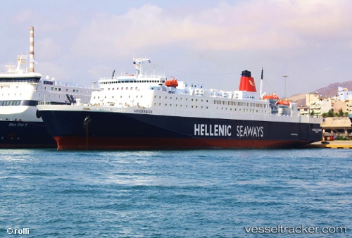
 Nissos Rodos
Current Status
Where is the vessel?
Nissos Rodos is currently in 14 nm W of Kythnos, based on AIS data received about 1h ago.
Latest AIS update:
Current position: 37.41193° N, 24.10485° E (14 nm W of Kythnos)
Average speed (last 7 days): Loading…
Average speed (last 30 days): Loading…
Vessel profile: Nissos Rodos is a Passenger Ro Ro Cargo Ship with dimensions 192m x 27m.
This page combines live AIS, route history, probable destination signals, nearby traffic, and port activity for practical vessel monitoring.
The current position of vessel Nissos Rodos is 37.41193 lat / 24.10485 lng. Updated: 2026-04-02 23:39:38 UTCNearest reference points:
- Near Kéa (Tzia)
- Near LAVRIO MARINA
- Near LAVRIO
Currently sailing under the flag of Greece ![]()
Nissos Rodos built in 1987 year
Deadweight:
6148 tDetails:
Live Vessel Nissos Rodos Analytics (details, animations, etc.)
Recent AIS points (UTC):
2026-04-02 17:28:01 UTC · 37.94582, 23.63671 · SOG 0 kn · COG 178°2026-04-02 19:21:48 UTC · 37.94583, 23.63669 · SOG 0 kn · COG 178°
2026-04-02 21:52:49 UTC · 37.84650, 23.60823 · SOG 20.7 kn · COG 179°
2026-04-02 23:39:38 UTC · 37.41193, 24.10485 · SOG 20.2 kn · COG 130°