 vesseltracker.com
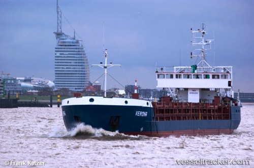
 Kilic
Kilic
Current Status
Where is the vessel?
Kilic is currently in Near BODRUM, based on AIS data received less than 1h ago.
Latest AIS update:
Current position: 37.13792° N, 27.57140° E (Near BODRUM)
Average speed (last 7 days): Loading…
Average speed (last 30 days): Loading…
Vessel profile: Kilic is a Multi Purpose Carrier with dimensions 83m x 12m.
This page combines live AIS, route history, probable destination signals, nearby traffic, and port activity for practical vessel monitoring.
The current position of vessel Kilic is 37.13792 lat / 27.57140 lng. Updated: 2026-04-02 07:34:15 UTCNearest reference points:
- Near BODRUM
- Near TURGUTREIS
- Near Datça
Currently sailing under the flag of Turkey ![]()
Kilic built in 1988 year
Deadweight:
3304 tDetails:
Live Vessel Kilic Analytics (details, animations, etc.)
Recent AIS points (UTC):
2026-04-02 01:39:21 UTC · 37.13617, 27.57360 · SOG 0.1 kn · COG -1°2026-04-02 04:18:02 UTC · 37.13714, 27.57320 · SOG 0 kn · COG 209°
2026-04-02 05:21:03 UTC · 37.13705, 27.57331 · SOG 0 kn · COG 216°
2026-04-02 07:34:15 UTC · 37.13792, 27.57140 · SOG 0 kn · COG 156°