 vesseltracker.com
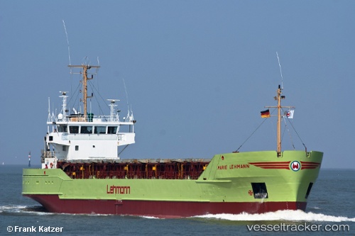
 Marie b
Current Status
Where is the vessel?
Marie b is currently in Near Altwittenbek, based on AIS data received less than 1h ago.
Latest AIS update:
Current position: 54.36010° N, 10.02330° E (Near Altwittenbek)
Average speed (last 7 days): Loading…
Average speed (last 30 days): Loading…
Vessel profile: Marie b is a General Cargo Ship with dimensions 80m x 13m.
This page combines live AIS, route history, probable destination signals, nearby traffic, and port activity for practical vessel monitoring.
The current position of vessel Marie b is 54.36010 lat / 10.02330 lng. Updated: 2026-03-29 23:50:01 UTCNearest reference points:
- Near Rammsee
- Near Nord-Ostsee-Kanal
- Near Kiel
Currently sailing under the flag of Antigua Barbuda ![]()
Marie b built in 1987 year
Deadweight:
3017 tDetails:
Live Vessel Marie b Analytics (details, animations, etc.)
Recent AIS points (UTC):
2026-03-29 18:23:20 UTC · 54.04004, 9.30439 · SOG 6.8 kn · COG 8°2026-03-29 20:11:48 UTC · 54.18715, 9.50647 · SOG 6.9 kn · COG 70°
2026-03-29 21:37:39 UTC · 54.29414, 9.68516 · SOG 6.7 kn · COG 72°
2026-03-29 23:50:01 UTC · 54.36010, 10.02330 · SOG 6.8 kn · COG 77°