 vesseltracker.com
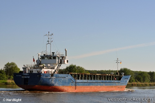
Vaagsund
Current StatusWhere is the vessel?
Vaagsund is currently in Near MYRE, based on AIS data received about 1h ago.
Latest AIS update:
Current position: 68.91368° N, 15.06416° E (Near MYRE)
Average speed (last 7 days): Loading…
Average speed (last 30 days): Loading…
Vessel profile: Vaagsund is a Fishing Support Vessel with dimensions 12m x 74m.
This page combines live AIS, route history, probable destination signals, nearby traffic, and port activity for practical vessel monitoring.
The current position of vessel Vaagsund is 68.91368 lat / 15.06416 lng. Updated: 2026-03-26 09:49:07 UTCNearest reference points:
- Near Eidet
- Near Berrvik (Bergvik)
- Near Sigerfjord
Details:
Live Vessel Vaagsund Analytics (details, animations, etc.)
Recent AIS points (UTC):
2026-03-26 03:59:38 UTC · 68.91384, 15.06285 · SOG 0 kn · COG 110°2026-03-26 06:24:54 UTC · 68.91366, 15.06413 · SOG 0 kn · COG 291°
2026-03-26 07:28:02 UTC · 68.91372, 15.06419 · SOG 0 kn · COG 291°
2026-03-26 09:49:07 UTC · 68.91368, 15.06416 · SOG 0.1 kn · COG 291°