 vesseltracker.com
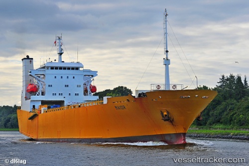
 INDIGO I
Current Status
Where is the vessel?
INDIGO I is currently in 27 nm SE of Les Cayes, based on AIS data received less than 1h ago.
Latest AIS update:
Current position: 17.80272° N, 73.48456° W (27 nm SE of Les Cayes)
Average speed (last 7 days): Loading…
Average speed (last 30 days): Loading…
Vessel profile: INDIGO I is a Ro-Ro Cargo Ship with dimensions 125m x 20m.
This page combines live AIS, route history, probable destination signals, nearby traffic, and port activity for practical vessel monitoring.
The current position of vessel INDIGO I is 17.80272 lat / -73.48456 lng. Updated: 2026-04-03 09:46:36 UTCCurrently sailing under the flag of Panama ![]()
INDIGO I built in 1990 year
Deadweight:
3956 tDetails:
Live Vessel INDIGO I Analytics (details, animations, etc.)
Recent AIS points (UTC):
2026-04-03 03:38:59 UTC · 17.63458, -72.50756 · SOG 9.2 kn · COG 264°2026-04-03 05:24:20 UTC · 17.65213, -72.79495 · SOG 10 kn · COG 283°
2026-04-03 08:17:51 UTC · 17.75271, -73.26036 · SOG 9 kn · COG 285°
2026-04-03 09:46:36 UTC · 17.80272, -73.48456 · SOG 8.4 kn · COG 282°