 vesseltracker.com
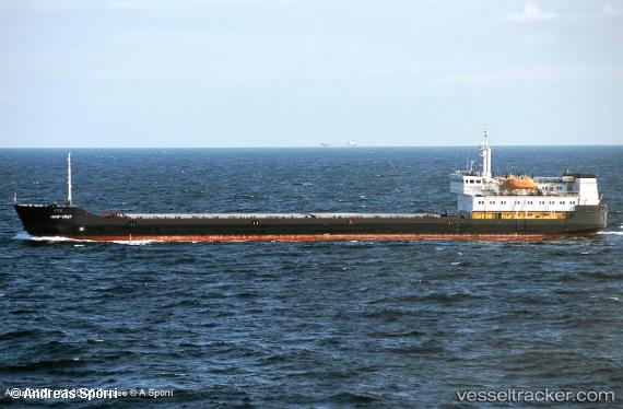
 ATLANTIS
Current Status
Where is the vessel?
ATLANTIS is currently in Near Dardanelles, based on AIS data received less than 1h ago.
Latest AIS update:
Current position: 40.28344° N, 26.54319° E (Near Dardanelles)
Average speed (last 7 days): Loading…
Average speed (last 30 days): Loading…
Vessel profile: ATLANTIS is a General Cargo with dimensions m x m.
This page combines live AIS, route history, probable destination signals, nearby traffic, and port activity for practical vessel monitoring.
The current position of vessel ATLANTIS is 40.28344 lat / 26.54319 lng. Updated: 2026-04-21 21:37:04 UTCNearest reference points:
- Near Dardanelles
- Near Gelibolu
- Near Akcansa
Currently sailing under the flag of Comoros ![]()
Details:
Live Vessel ATLANTIS Analytics (details, animations, etc.)
Recent AIS points (UTC):
2026-04-21 17:48:38 UTC · 40.54001, 27.01990 · SOG 6.5 kn · COG -1°2026-04-21 19:29:25 UTC · 40.45578, 26.79449 · SOG 6.7 kn · COG 241°
2026-04-21 19:35:14 UTC · 40.45071, 26.78144 · SOG 6.9 kn · COG 238°
2026-04-21 21:37:04 UTC · 40.28344, 26.54319 · SOG 7.7 kn · COG 229°