 vesseltracker.com
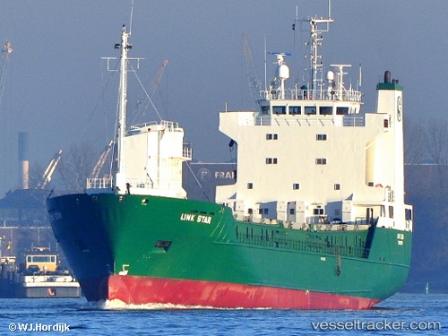
Vessel LINK STAR IMO: 8805602, MMSI: 259101000 Ro-Ro Cargo Ship
UTC, 43.46111, -3.12507, course: 339, speed: 12.9
UTC, 43.85493, -3.31786, course: 339, speed: 12.5
2026-02-09 17:32:05 UTC, 44.15333, -3.45667, course: -1, speed: 11
Live AIS position:
UTC. 40 nm N of Isla),
updated 2026-02-09 17:32:05 UTC.
Find the position of the vessel LINK STAR on the map. The latter are known coordinates and path.
marine traffic ship tracker show on live map
The current position of vessel LINK STAR is 44.15333 lat / -3.45667 lng. Updated: 2026-02-09 17:32:05 UTCCurrently sailing under the flag of Norway (NIS)
LINK STAR built in 1989 year
Deadweight:
4453 tDetails:
Last coordinates of the vessel:
UTC, 43.35104, -3.06286, course: 302, speed: 0UTC, 43.46111, -3.12507, course: 339, speed: 12.9
UTC, 43.85493, -3.31786, course: 339, speed: 12.5
2026-02-09 17:32:05 UTC, 44.15333, -3.45667, course: -1, speed: 11