 vesseltracker.com
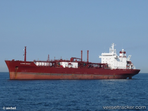
Ramagas
Current StatusWhere is the vessel?
Ramagas is currently in 14 nm SW of Jorf Lasfar, based on AIS data received about 62d ago.
Latest AIS update:
Current position: 32.98820° N, 8.83613° W (14 nm SW of Jorf Lasfar)
Average speed (last 7 days): Loading…
Average speed (last 30 days): Loading…
Vessel profile: Ramagas is a Lpg Tanker with dimensions 21m x 158m.
This page combines live AIS, route history, probable destination signals, nearby traffic, and port activity for practical vessel monitoring.
The current position of vessel Ramagas is 32.98820 lat / -8.83613 lng. Updated: 2026-02-14 20:46:07 UTCNearest reference points:
- Near Jorf Lasfar
- 21 nm NW of El Jadida
- 52 nm NW of Safi
Details:
Live Vessel Ramagas Analytics (details, animations, etc.)
Recent AIS points (UTC):
2026-02-14 20:46:07 UTC · 32.98820, -8.83613 · SOG 2 kn · COG 292°