 vesseltracker.com
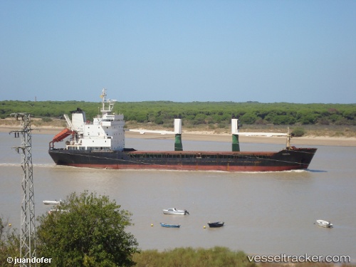
Sanita
Current StatusWhere is the vessel?
Sanita is currently in Near CHANGI, based on AIS data received about 1h ago.
Latest AIS update:
Current position: 1.38807° N, 103.97257° E (Near CHANGI)
Average speed (last 7 days): Loading…
Average speed (last 30 days): Loading…
Vessel profile: Sanita is a General Cargo Ship with dimensions 17m x 98m.
This page combines live AIS, route history, probable destination signals, nearby traffic, and port activity for practical vessel monitoring.
The current position of vessel Sanita is 1.38807 lat / 103.97257 lng. Updated: 2026-04-18 09:29:00 UTCNearest reference points:
- Near CHANGI
- Near Johor
- Near Tampines
Details:
Live Vessel Sanita Analytics (details, animations, etc.)
Recent AIS points (UTC):
2026-04-18 03:17:36 UTC · 1.38798, 103.97263 · SOG 0.1 kn · COG -1°2026-04-18 05:29:08 UTC · 1.38802, 103.97261 · SOG 0 kn · COG -1°
2026-04-18 05:29:08 UTC · 1.38802, 103.97261 · SOG 0 kn · COG -1°
2026-04-18 09:29:00 UTC · 1.38807, 103.97257 · SOG 0.1 kn · COG -1°