 vesseltracker.com
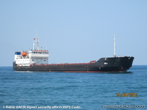
 PHRYGIA
Current Status
Where is the vessel?
PHRYGIA is currently in 18 nm SW of Taganrog, based on AIS data received less than 1h ago.
Latest AIS update:
Current position: 47.00550° N, 38.61287° E (18 nm SW of Taganrog)
Average speed (last 7 days): Loading…
Average speed (last 30 days): Loading…
Vessel profile: PHRYGIA is a General Cargo with dimensions m x m.
This page combines live AIS, route history, probable destination signals, nearby traffic, and port activity for practical vessel monitoring.
The current position of vessel PHRYGIA is 47.00550 lat / 38.61287 lng. Updated: 2026-04-01 15:38:55 UTCNearest reference points:
- 18 nm SW of Taganrog
- 19 nm SW of Taganrog
- 21 nm SW of Taganrog
Currently sailing under the flag of Vanuatu ![]()
Details:
Live Vessel PHRYGIA Analytics (details, animations, etc.)
Recent AIS points (UTC):
2026-04-01 10:08:57 UTC · 46.97680, 38.34627 · SOG 1 kn · COG 237°2026-04-01 12:02:41 UTC · 47.06140, 38.66090 · SOG 51.3 kn · COG 235°
2026-04-01 14:01:57 UTC · 46.99073, 38.36162 · SOG 6.4 kn · COG 58°
2026-04-01 15:38:55 UTC · 47.00550, 38.61287 · SOG 6.9 kn · COG 90°