 vesseltracker.com
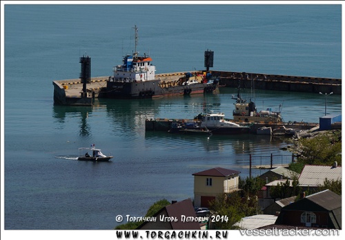
Sam O Cat
Current StatusWhere is the vessel?
Sam O Cat is currently in Near Murmansk, based on AIS data received about 102d ago.
Latest AIS update:
Current position: 68.96094° N, 33.04024° E (Near Murmansk)
Average speed (last 7 days): Loading…
Average speed (last 30 days): Loading…
Vessel profile: Sam O Cat is a Landing Craft with dimensions 9m x 38m.
This page combines live AIS, route history, probable destination signals, nearby traffic, and port activity for practical vessel monitoring.
The current position of vessel Sam O Cat is 68.96094 lat / 33.04024 lng. Updated: 2026-01-08 10:28:32 UTCNearest reference points:
- Near Murmansk
- Near Ura-Guba
- Near Polyarnyy
Details:
Live Vessel Sam O Cat Analytics (details, animations, etc.)
Recent AIS points (UTC):
2026-01-08 10:28:32 UTC · 68.96094, 33.04024 · SOG 0 kn · COG -1°