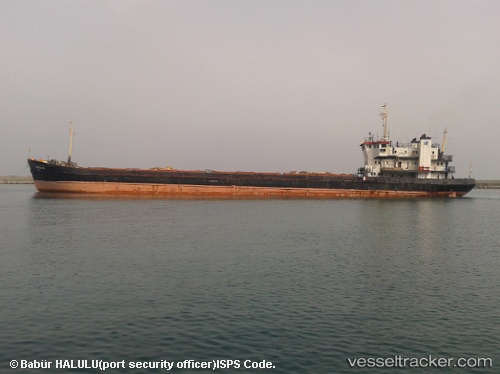
 KAAN
KAAN
Current Status
Where is the vessel?
KAAN is currently in Near Shabla, based on AIS data received about 15h ago.
Latest AIS update:
Current position: 43.49308° N, 28.71847° E (Near Shabla)
Average speed (last 7 days): Loading…
Average speed (last 30 days): Loading…
Vessel profile: KAAN is a General Cargo with dimensions m x m.
This page combines live AIS, route history, probable destination signals, nearby traffic, and port activity for practical vessel monitoring.
The current position of vessel KAAN is 43.49308 lat / 28.71847 lng. Updated: 2026-05-24 04:24:24 UTCNearest reference points:
- Near Shabla
- 20 nm SE of Varna
- 20 nm E of Eforie Sud
Currently sailing under the flag of Saint Kitts and Nevis ![]()
Details:
Live Vessel KAAN Analytics (details, animations, etc.)
Recent AIS points (UTC):
2026-05-24 01:27:10 UTC · 43.16781, 28.56307 · SOG 7.2 kn · COG 23°2026-05-24 02:19:20 UTC · 43.26427, 28.60734 · SOG 7 kn · COG 21°
2026-05-24 03:59:22 UTC · 43.44635, 28.69881 · SOG 7.1 kn · COG -1°
2026-05-24 04:24:24 UTC · 43.49308, 28.71847 · SOG 7 kn · COG -1°