 vesseltracker.com
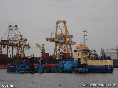
 Helge R
Current Status
Where is the vessel?
Helge R is currently in Near GRENAA, based on AIS data received less than 1h ago.
Latest AIS update:
Current position: 56.41364° N, 10.92587° E (Near GRENAA)
Average speed (last 7 days): Loading…
Average speed (last 30 days): Loading…
Vessel profile: Helge R is a [service_ship.hopper_barge] with dimensions 60m x 12m.
This page combines live AIS, route history, probable destination signals, nearby traffic, and port activity for practical vessel monitoring.
The current position of vessel Helge R is 56.41364 lat / 10.92587 lng. Updated: 2026-04-21 21:32:57 UTCNearest reference points:
- Near Grena
- Near Glesborg
- Near Kalundborg
Currently sailing under the flag of Netherlands ![]()
Helge R built in 1979 year
Deadweight:
1500 tDetails:
Live Vessel Helge R Analytics (details, animations, etc.)
Recent AIS points (UTC):
2026-04-21 17:56:57 UTC · 56.41354, 10.92584 · SOG 0 kn · COG 176°2026-04-21 19:50:59 UTC · 56.41351, 10.92584 · SOG 0 kn · COG 176°
2026-04-21 20:23:59 UTC · 56.41353, 10.92586 · SOG 0 kn · COG 176°
2026-04-21 21:32:57 UTC · 56.41364, 10.92587 · SOG 0 kn · COG 176°