 vesseltracker.com
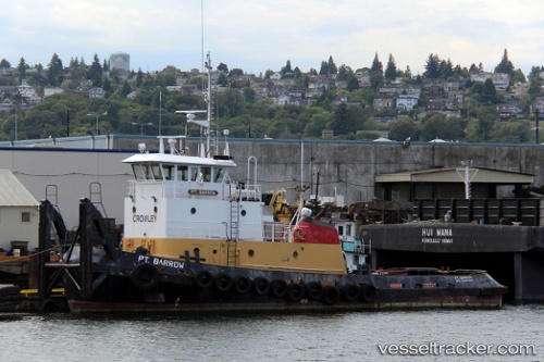
Islandwind
Current StatusWhere is the vessel?
Islandwind is currently in Near Seward, based on AIS data received about 1h ago.
Latest AIS update:
Current position: 60.09344° N, 149.37244° W (Near Seward)
Average speed (last 7 days): Loading…
Average speed (last 30 days): Loading…
Vessel profile: Islandwind is a Tug with dimensions 20m x 32m.
This page combines live AIS, route history, probable destination signals, nearby traffic, and port activity for practical vessel monitoring.
The current position of vessel Islandwind is 60.09344 lat / -149.37244 lng. Updated: 2026-04-17 19:49:16 UTCNearest reference points:
- Near Whittier
- 84 nm SE of Seward
Details:
Live Vessel Islandwind Analytics (details, animations, etc.)
Recent AIS points (UTC):
2026-04-17 14:23:57 UTC · 60.08737, -149.35510 · SOG 0 kn · COG 98°2026-04-17 15:28:57 UTC · 60.08736, -149.35509 · SOG 0 kn · COG 98°
2026-04-17 17:29:16 UTC · 60.08737, -149.35509 · SOG 0 kn · COG 98°
2026-04-17 19:49:16 UTC · 60.09344, -149.37244 · SOG 1.5 kn · COG 36°