 vesseltracker.com
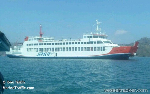
Naraya
Current StatusWhere is the vessel?
Naraya is currently in Near LEMBAR, based on AIS data received about 1h ago.
Latest AIS update:
Current position: 8.71324° S, 116.04570° E (Near LEMBAR)
Average speed (last 7 days): Loading…
Average speed (last 30 days): Loading…
Vessel profile: Naraya is a Passenger Ro Ro Cargo Ship with dimensions 15m x 74m.
This page combines live AIS, route history, probable destination signals, nearby traffic, and port activity for practical vessel monitoring.
The current position of vessel Naraya is -8.71324 lat / 116.04570 lng. Updated: 2026-03-28 01:42:30 UTCNearest reference points:
- Near LEMBAR
- Near BENOA
- 29 nm N of MANGGIS
Details:
Live Vessel Naraya Analytics (details, animations, etc.)
Recent AIS points (UTC):
2026-03-27 19:55:39 UTC · -8.56927, 115.59838 · SOG 10.5 kn · COG 12°2026-03-27 21:36:19 UTC · -8.53354, 115.50937 · SOG 0 kn · COG 12°
2026-03-28 00:01:40 UTC · -8.65286, 115.76220 · SOG 10.1 kn · COG 12°
2026-03-28 01:42:30 UTC · -8.71324, 116.04570 · SOG 11.2 kn · COG 12°