 vesseltracker.com
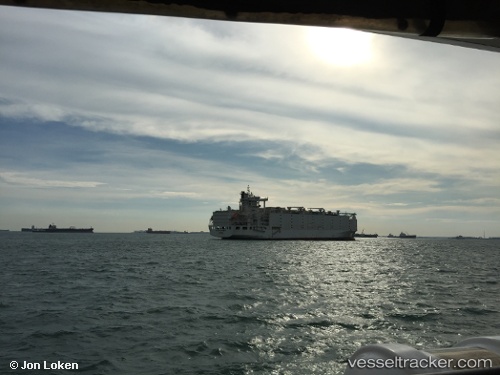
Anna Marra
Current StatusWhere is the vessel?
Anna Marra is currently in 122 nm W of Essaouira, based on AIS data received about 2h ago.
Latest AIS update:
Current position: 31.40333° N, 11.87500° W (122 nm W of Essaouira)
Average speed (last 7 days): Loading…
Average speed (last 30 days): Loading…
Vessel profile: Anna Marra is a Livestock Carrier with dimensions 31m x 181m.
This page combines live AIS, route history, probable destination signals, nearby traffic, and port activity for practical vessel monitoring.
The current position of vessel Anna Marra is 31.40333 lat / -11.87500 lng. Updated: 2026-04-01 04:03:47 UTCNearest reference points:
- 125 nm W of Essaouira
- 129 nm W of Essaouira
- 120 nm W of Anza
Details:
Live Vessel Anna Marra Analytics (details, animations, etc.)
Recent AIS points (UTC):
2026-03-31 21:45:45 UTC · 32.50667, -10.53667 · SOG 15 kn · COG -1°2026-03-31 23:37:10 UTC · 32.17858, -10.94052 · SOG 15.1 kn · COG 225°
2026-04-01 01:34:49 UTC · 31.83818, -11.35394 · SOG 14.9 kn · COG -1°
2026-04-01 04:03:47 UTC · 31.40333, -11.87500 · SOG 15 kn · COG -1°