 vesseltracker.com
 LORIS
LORIS
Current Status
Where is the vessel?
LORIS is currently in Near EL DEKHEILA, based on AIS data received less than 1h ago.
Latest AIS update:
Current position: 31.14052° N, 29.79832° E (Near EL DEKHEILA)
Average speed (last 7 days): Loading…
Average speed (last 30 days): Loading…
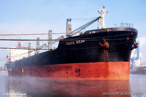
Vessel profile: LORIS is a Bulk Carrier with dimensions m x m.
This page combines live AIS, route history, probable destination signals, nearby traffic, and port activity for practical vessel monitoring.
The current position of vessel LORIS is 31.14052 lat / 29.79832 lng. Updated: 2026-04-17 11:59:39 UTCNearest reference points:
- Near Alexandria
- Near EL DEKHEILA
- 13 nm W of EL DEKHEILA
Currently sailing under the flag of Guinea ![]()
Details:
Live Vessel LORIS Analytics (details, animations, etc.)
Recent AIS points (UTC):
2026-04-17 05:57:16 UTC · 31.14047, 29.79834 · SOG 0 kn · COG -1°2026-04-17 07:37:57 UTC · 31.14046, 29.79832 · SOG 0 kn · COG -1°
2026-04-17 10:13:38 UTC · 31.14050, 29.79833 · SOG 0 kn · COG -1°
2026-04-17 11:59:39 UTC · 31.14052, 29.79832 · SOG 0 kn · COG -1°