 vesseltracker.com
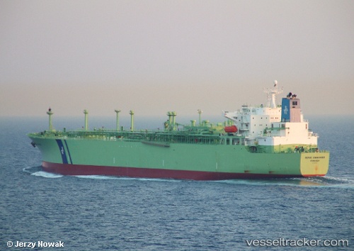
 MILE
MILE
Current Status
Where is the vessel?
MILE is currently in 37 nm NE of Sebang, based on AIS data received about 1h ago.
Latest AIS update:
Current position: 6.37028° N, 95.72939° E (37 nm NE of Sebang)
Average speed (last 7 days): Loading…
Average speed (last 30 days): Loading…
Vessel profile: MILE is a Lpg Tanker with dimensions m x m.
This page combines live AIS, route history, probable destination signals, nearby traffic, and port activity for practical vessel monitoring.
The current position of vessel MILE is 6.37028 lat / 95.72939 lng. Updated: 2026-04-19 23:31:47 UTCNearest reference points:
- 53 nm NE of Sebang
- 21 nm N of Sebang
- 28 nm NW of Sebang
Currently sailing under the flag of Panama ![]()
Details:
Live Vessel MILE Analytics (details, animations, etc.)
Recent AIS points (UTC):
2026-04-19 19:40:37 UTC · 6.28404, 96.36461 · SOG 10 kn · COG 291°2026-04-19 22:01:58 UTC · 6.36854, 95.98444 · SOG 11.1 kn · COG 282°
2026-04-19 22:06:57 UTC · 6.36964, 95.96885 · SOG 11.2 kn · COG 279°
2026-04-19 23:31:47 UTC · 6.37028, 95.72939 · SOG 9.6 kn · COG 273°