 vesseltracker.com
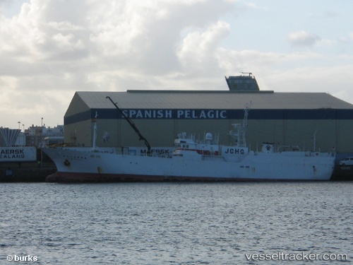
Ryoan Maru No.85
Current StatusWhere is the vessel?
Ryoan Maru No.85 is currently in 373 nm W of Twizel, based on AIS data received about 1h ago.
Latest AIS update:
Current position: 43.04049° S, 8.67159° E (373 nm W of Twizel)
Average speed (last 7 days): Loading…
Average speed (last 30 days): Loading…
Vessel profile: Ryoan Maru No.85 is a Fishing Vessel with dimensions 10m x 52m.
This page combines live AIS, route history, probable destination signals, nearby traffic, and port activity for practical vessel monitoring.
The current position of vessel Ryoan Maru No.85 is -43.04049 lat / 8.67159 lng. Updated: 2026-04-16 01:31:21 UTCNearest reference points:
- Open sea, approx. 402 nm off the nearest listed port
- Open sea, approx. 403 nm off the nearest listed port
- Open sea, approx. 447 nm off the nearest listed port
Details:
Live Vessel Ryoan Maru No.85 Analytics (details, animations, etc.)
Recent AIS points (UTC):
2026-04-15 19:49:31 UTC · -43.30317, 9.09686 · SOG 4.4 kn · COG 291°2026-04-15 21:28:59 UTC · -43.23715, 8.97032 · SOG 5.4 kn · COG 329°
2026-04-15 23:52:03 UTC · -43.08128, 8.80632 · SOG 5.2 kn · COG 284°
2026-04-16 01:31:21 UTC · -43.04049, 8.67159 · SOG 6.2 kn · COG 298°