 vesseltracker.com
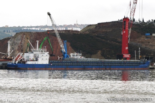
 Petr Hamitov
Current Status
Where is the vessel?
Petr Hamitov is currently in 11 nm S of Mariupol, based on AIS data received about 3d ago.
Latest AIS update:
Current position: 46.87332° N, 37.59716° E (11 nm S of Mariupol)
Average speed (last 7 days): Loading…
Average speed (last 30 days): Loading…
Vessel profile: Petr Hamitov is a General Cargo Ship with dimensions 143m x 17m.
This page combines live AIS, route history, probable destination signals, nearby traffic, and port activity for practical vessel monitoring.
The current position of vessel Petr Hamitov is 46.87332 lat / 37.59716 lng. Updated: 2026-04-03 13:56:56 UTCNearest reference points:
- Near Mariupol
- 19 nm E of Mariupol
- 25 nm SE of Mariupol
Currently sailing under the flag of Panama ![]()
Petr Hamitov built in 1987 year
Deadweight:
5354 tDetails:
Live Vessel Petr Hamitov Analytics (details, animations, etc.)
Recent AIS points (UTC):
2026-04-03 11:40:57 UTC · 47.01641, 37.76373 · SOG 8.4 kn · COG 258°2026-04-03 13:08:15 UTC · 46.83772, 37.69007 · SOG 10.6 kn · COG 254°
2026-04-03 13:56:56 UTC · 46.87332, 37.59716 · SOG 6.8 kn · COG 250°
2026-04-03 13:56:56 UTC · 46.87332, 37.59716 · SOG 6.8 kn · COG 250°