 vesseltracker.com
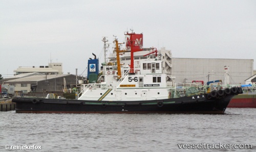
Taiseimaru
Current StatusWhere is the vessel?
Taiseimaru is currently in Near KANDA, based on AIS data received about 1h ago.
Latest AIS update:
Current position: 33.78894° N, 130.99002° E (Near KANDA)
Average speed (last 7 days): Loading…
Average speed (last 30 days): Loading…
Vessel profile: Taiseimaru is a Tug with dimensions 10m x 36m.
This page combines live AIS, route history, probable destination signals, nearby traffic, and port activity for practical vessel monitoring.
The current position of vessel Taiseimaru is 33.78894 lat / 130.99002 lng. Updated: 2026-03-28 04:06:58 UTCNearest reference points:
- Near KANDA
- Near Kanmon
- Near Shimonoseki
Details:
Live Vessel Taiseimaru Analytics (details, animations, etc.)
Recent AIS points (UTC):
2026-03-27 04:04:38 UTC · 33.78892, 130.99001 · SOG 0.1 kn · COG -1°2026-03-28 00:06:35 UTC · 33.78892, 130.99001 · SOG 0 kn · COG -1°
2026-03-28 01:51:45 UTC · 33.78889, 130.99002 · SOG 0.1 kn · COG -1°
2026-03-28 04:06:58 UTC · 33.78894, 130.99002 · SOG 0 kn · COG -1°