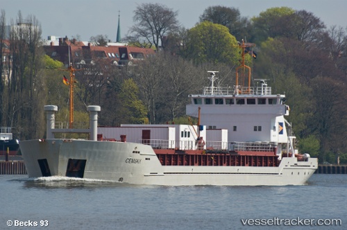
 NACC SKY
Current Status
Where is the vessel?
NACC SKY is currently in 38 nm SE of Bianco, based on AIS data received about 14h ago.
Latest AIS update:
Current position: 37.60733° N, 16.67642° E (38 nm SE of Bianco)
Average speed (last 7 days): Loading…
Average speed (last 30 days): Loading…
Vessel profile: NACC SKY is a Cement Carrier with dimensions m x m.
This page combines live AIS, route history, probable destination signals, nearby traffic, and port activity for practical vessel monitoring.
The current position of vessel NACC SKY is 37.60733 lat / 16.67642 lng. Updated: 2026-05-23 12:20:07 UTCNearest reference points:
- 24 nm SE of Bianco
- 29 nm E of Licodia Eubea
- Near REGGIO
Currently sailing under the flag of Panama ![]()
Details:
Live Vessel NACC SKY Analytics (details, animations, etc.)
Recent AIS points (UTC):
2026-05-23 07:58:47 UTC · 37.44265, 17.46432 · SOG 7.7 kn · COG 290°2026-05-23 10:22:05 UTC · 37.54048, 17.04681 · SOG 9 kn · COG 286°
2026-05-23 10:24:27 UTC · 37.54189, 17.03950 · SOG 9.1 kn · COG 286°
2026-05-23 12:20:07 UTC · 37.60733, 16.67642 · SOG 9.1 kn · COG 283°