 vesseltracker.com
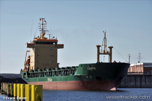
 Adriata
Current Status
Where is the vessel?
Adriata is currently in 21 nm W of Mõntu Väikelaevade Sadam, based on AIS data received less than 1h ago.
Latest AIS update:
Current position: 57.88489° N, 21.47021° E (21 nm W of Mõntu Väikelaevade Sadam)
Average speed (last 7 days): Loading…
Average speed (last 30 days): Loading…
Vessel profile: Adriata is a Deck Cargo Ship with dimensions 105m x 104m.
This page combines live AIS, route history, probable destination signals, nearby traffic, and port activity for practical vessel monitoring.
The current position of vessel Adriata is 57.88489 lat / 21.47021 lng. Updated: 2026-04-19 14:23:18 UTCNearest reference points:
- 18 nm N of Ventspils
- 11 nm N of Ventspils
- Near Ventspils
Currently sailing under the flag of Portugal ![]()
Adriata built in 1992 year
Deadweight:
5697 tDetails:
Live Vessel Adriata Analytics (details, animations, etc.)
Recent AIS points (UTC):
2026-04-19 10:26:28 UTC · 57.82836, 22.71293 · SOG 11.3 kn · COG 318°2026-04-19 11:22:59 UTC · 57.84196, 22.43542 · SOG 11.3 kn · COG 253°
2026-04-19 13:36:29 UTC · 57.85880, 21.73656 · SOG 11.4 kn · COG 289°
2026-04-19 14:23:18 UTC · 57.88489, 21.47021 · SOG 11.3 kn · COG 283°