 vesseltracker.com
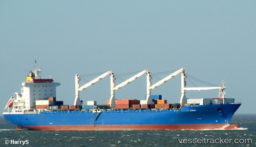
Nada
Current StatusWhere is the vessel?
Nada is currently in Near ESCOMBRERAS, based on AIS data received less than 1h ago.
Latest AIS update:
Current position: 37.56170° N, 0.97199° W (Near ESCOMBRERAS)
Average speed (last 7 days): Loading…
Average speed (last 30 days): Loading…
Vessel profile: Nada is a Livestock Carrier with dimensions 32m x 201m.
This page combines live AIS, route history, probable destination signals, nearby traffic, and port activity for practical vessel monitoring.
The current position of vessel Nada is 37.56170 lat / -0.97199 lng. Updated: 2026-04-13 02:28:29 UTCNearest reference points:
- Near ESCOMBRERAS
- Near Cartagena
- Near Mazarrón
Details:
Live Vessel Nada Analytics (details, animations, etc.)
Recent AIS points (UTC):
2026-04-12 19:55:10 UTC · 37.56166, -0.97197 · SOG 0 kn · COG 79°2026-04-12 21:34:14 UTC · 37.56165, -0.97196 · SOG 0 kn · COG 79°
2026-04-12 23:22:20 UTC · 37.56170, -0.97198 · SOG 0 kn · COG 79°
2026-04-13 02:28:29 UTC · 37.56170, -0.97199 · SOG 0 kn · COG 79°