 vesseltracker.com
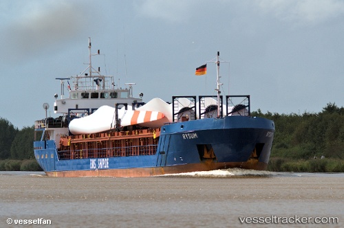
 SEMSA
SEMSA
Current Status
Where is the vessel?
SEMSA is currently in Near Fethiye, based on AIS data received less than 1h ago.
Latest AIS update:
Current position: 36.64471° N, 29.10365° E (Near Fethiye)
Average speed (last 7 days): Loading…
Average speed (last 30 days): Loading…
Vessel profile: SEMSA is a General Cargo with dimensions m x m.
This page combines live AIS, route history, probable destination signals, nearby traffic, and port activity for practical vessel monitoring.
The current position of vessel SEMSA is 36.64471 lat / 29.10365 lng. Updated: 2026-04-20 06:22:32 UTCNearest reference points:
- Near Fethiye
- Near GOCEK
- 10 nm S of GOCEK
Currently sailing under the flag of Palau ![]()
Details:
Live Vessel SEMSA Analytics (details, animations, etc.)
Recent AIS points (UTC):
2026-04-20 01:55:56 UTC · 36.53248, 28.88499 · SOG 1 kn · COG 23°2026-04-20 03:39:07 UTC · 36.58684, 28.94434 · SOG 6.2 kn · COG 44°
2026-04-20 04:30:37 UTC · 36.63676, 29.03148 · SOG 6.1 kn · COG 70°
2026-04-20 06:22:32 UTC · 36.64471, 29.10365 · SOG 0 kn · COG 46°