 vesseltracker.com
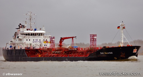
 AMMOLIT
Current Status
Where is the vessel?
AMMOLIT is currently in 61 nm N of Straza na Gori, based on AIS data received less than 1h ago.
Latest AIS update:
Current position: 47.27318° N, 152.15158° E (61 nm N of Straza na Gori)
Average speed (last 7 days): Loading…
Average speed (last 30 days): Loading…
Vessel profile: AMMOLIT is a Chemical/Oil Products Tanker with dimensions 100m x 17m.
This page combines live AIS, route history, probable destination signals, nearby traffic, and port activity for practical vessel monitoring.
The current position of vessel AMMOLIT is 47.27318 lat / 152.15158 lng. Updated: 2026-04-18 17:30:20 UTCCurrently sailing under the flag of Russia ![]()
AMMOLIT built in 1995 year
Deadweight:
5797 tDetails:
Live Vessel AMMOLIT Analytics (details, animations, etc.)
Recent AIS points (UTC):
2026-04-18 12:11:17 UTC · 48.25500, 153.15668 · SOG 13 kn · COG -1°2026-04-18 13:35:15 UTC · 47.97333, 152.97501 · SOG 13 kn · COG -1°
2026-04-18 16:05:14 UTC · 47.49500, 152.53833 · SOG 14 kn · COG -1°
2026-04-18 17:30:20 UTC · 47.27318, 152.15158 · SOG 14.3 kn · COG 225°