 vesseltracker.com
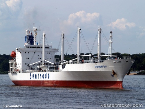
 RUNAWAY BAY
Current Status
Where is the vessel?
RUNAWAY BAY is currently in 56 nm W of Villanueva de Lorenzana, based on AIS data received about 1h ago.
Latest AIS update:
Current position: 43.61951° N, 10.54780° W (56 nm W of Villanueva de Lorenzana)
Average speed (last 7 days): Loading…
Average speed (last 30 days): Loading…
Vessel profile: RUNAWAY BAY is a Refrigerated Cargo Ship with dimensions 20m x 149m.
This page combines live AIS, route history, probable destination signals, nearby traffic, and port activity for practical vessel monitoring.
The current position of vessel RUNAWAY BAY is 43.61951 lat / -10.54780 lng. Updated: 2026-03-31 13:30:05 UTCNearest reference points:
- 40 nm NW of Sarinena
- 13 nm NE of Villanueva de Lorenzana
- Near Portosin
Currently sailing under the flag of Bahamas ![]()
RUNAWAY BAY built in 1992 year
Deadweight:
11579 tDetails:
Live Vessel RUNAWAY BAY Analytics (details, animations, etc.)
Recent AIS points (UTC):
2026-03-31 06:13:10 UTC · 45.00667, -9.67705 · SOG 14.4 kn · COG 203°2026-03-31 08:15:40 UTC · 44.59080, -9.88521 · SOG 12.7 kn · COG 190°
2026-03-31 11:23:51 UTC · 43.97154, -10.18253 · SOG 12.6 kn · COG -1°
2026-03-31 13:30:05 UTC · 43.61951, -10.54780 · SOG 12.9 kn · COG -1°