 vesseltracker.com
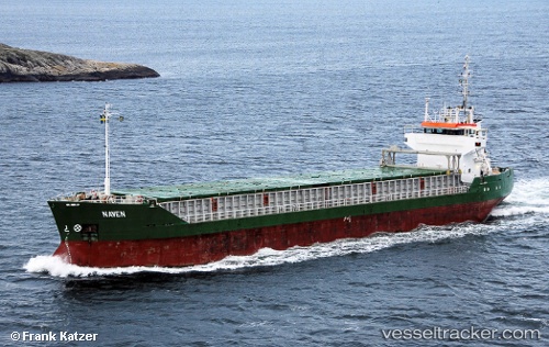
 JOAV I
Current Status
Where is the vessel?
JOAV I is currently in 22 nm W of Atlit, based on AIS data received about 11h ago.
Latest AIS update:
Current position: 32.76358° N, 34.51413° E (22 nm W of Atlit)
Average speed (last 7 days): Loading…
Average speed (last 30 days): Loading…
Vessel profile: JOAV I is a General Cargo with dimensions m x m.
This page combines live AIS, route history, probable destination signals, nearby traffic, and port activity for practical vessel monitoring.
The current position of vessel JOAV I is 32.76358 lat / 34.51413 lng. Updated: 2026-04-09 16:37:26 UTCNearest reference points:
- 22 nm W of Haifa Granaries
- Near Haifa
- 17 nm E of Atakka Dry Port
Currently sailing under the flag of Saint Kitts and Nevis ![]()
Details:
Live Vessel JOAV I Analytics (details, animations, etc.)
Recent AIS points (UTC):
2026-04-08 22:39:08 UTC · 32.83043, 34.70278 · SOG 1.2 kn · COG 181°2026-04-09 16:37:26 UTC · 32.76358, 34.51413 · SOG 1 kn · COG 199°
2026-04-09 16:37:26 UTC · 32.76358, 34.51413 · SOG 1 kn · COG 199°
2026-04-09 16:37:26 UTC · 32.76358, 34.51413 · SOG 1 kn · COG 199°