 vesseltracker.com
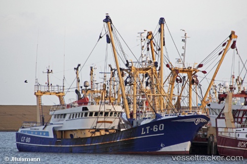
 St27 Jacob Grietje
Current Status
Where is the vessel?
St27 Jacob Grietje is currently in Near Den Helder, based on AIS data received about 2h ago.
Latest AIS update:
Current position: 52.95067° N, 4.78575° E (Near Den Helder)
Average speed (last 7 days): Loading…
Average speed (last 30 days): Loading…
Vessel profile: St27 Jacob Grietje is a Fishing Vessel with dimensions 40m x 8m.
This page combines live AIS, route history, probable destination signals, nearby traffic, and port activity for practical vessel monitoring.
The current position of vessel St27 Jacob Grietje is 52.95067 lat / 4.78575 lng. Updated: 2026-03-28 17:47:19 UTCNearest reference points:
- Near Den Helder
- Near TEXEL
- Near OUDESCHILD
Currently sailing under the flag of Germany ![]()
St27 Jacob Grietje built in 1991 year
Details:
Live Vessel St27 Jacob Grietje Analytics (details, animations, etc.)
Recent AIS points (UTC):
2026-03-28 12:32:20 UTC · 52.95068, 4.78573 · SOG 0 kn · COG 135°2026-03-28 14:01:31 UTC · 52.95067, 4.78579 · SOG 0 kn · COG 136°
2026-03-28 15:46:31 UTC · 52.95066, 4.78581 · SOG 0 kn · COG 135°
2026-03-28 17:47:19 UTC · 52.95067, 4.78575 · SOG 0 kn · COG 136°