 vesseltracker.com
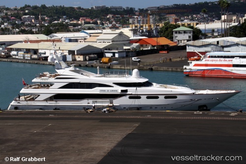
Vessel BARENTS IMO: 9028225, MMSI: 215725000 Houseboat
UTC, 38.0362, 23.4995, course: 299, speed: 0
UTC, 38.0362, 23.4994, course: 299, speed: 0
2026-03-24 19:39:28 UTC, 38.035, 23.4983, course: -1, speed: 0
Live Vessel BARENTS Analytics (details, animations, etc.)
Live AIS position: UTC. Near Eleusis), updated 2026-03-24 19:39:28 UTC.Find the position of the vessel BARENTS on the map. The latter are known coordinates and path.
marine traffic ship tracker show on live map
The current position of vessel BARENTS is 38.035 lat / 23.4983 lng. Updated: 2026-03-24 19:39:28 UTCCurrently sailing under the flag of Malta
BARENTS built in 1999 year
Deadweight:
90 tDetails:
Last coordinates of the vessel:
UTC, 38.0362, 23.4994, course: 299, speed: 0UTC, 38.0362, 23.4995, course: 299, speed: 0
UTC, 38.0362, 23.4994, course: 299, speed: 0
2026-03-24 19:39:28 UTC, 38.035, 23.4983, course: -1, speed: 0