 vesseltracker.com
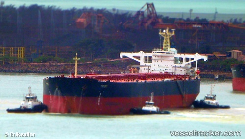
Stellar Galaxy
Current StatusWhere is the vessel?
Stellar Galaxy is currently in 163 nm NE of Tsuzuki Ku, based on AIS data received about 2h ago.
Latest AIS update:
Current position: 37.58976° N, 137.34541° W (163 nm NE of Tsuzuki Ku)
Average speed (last 7 days): Loading…
Average speed (last 30 days): Loading…
Vessel profile: Stellar Galaxy is a Ore Carrier with dimensions 58m x 322m.
This page combines live AIS, route history, probable destination signals, nearby traffic, and port activity for practical vessel monitoring.
The current position of vessel Stellar Galaxy is 37.58976 lat / -137.34541 lng. Updated: 2026-04-05 20:41:03 UTCDetails:
Live Vessel Stellar Galaxy Analytics (details, animations, etc.)
Recent AIS points (UTC):
2026-04-05 11:40:16 UTC · 37.98927, -139.44405 · SOG 11 kn · COG 103°2026-04-05 13:55:35 UTC · 37.89960, -138.92953 · SOG 11.1 kn · COG 104°
2026-04-05 17:18:56 UTC · 37.75349, -138.15399 · SOG 11.8 kn · COG 105°
2026-04-05 20:41:03 UTC · 37.58976, -137.34541 · SOG 11.5 kn · COG 104°