 vesseltracker.com
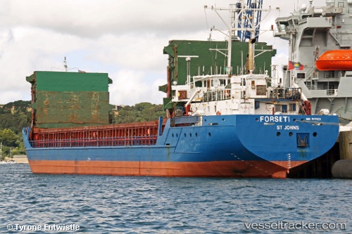
 Forseti
Current Status
Where is the vessel?
Forseti is currently in Near SVETLY, based on AIS data received about 1h ago.
Latest AIS update:
Current position: 54.68838° N, 20.21599° E (Near SVETLY)
Average speed (last 7 days): Loading…
Average speed (last 30 days): Loading…
Vessel profile: Forseti is a Deck Cargo Ship with dimensions 85m x 13m.
This page combines live AIS, route history, probable destination signals, nearby traffic, and port activity for practical vessel monitoring.
The current position of vessel Forseti is 54.68838 lat / 20.21599 lng. Updated: 2026-04-19 06:23:03 UTCNearest reference points:
- Near SVETLY
- Near Kaliningrad
- Near Baltiysk
Currently sailing under the flag of Antigua Barbuda ![]()
Forseti built in 1993 year
Deadweight:
3574 tDetails:
Live Vessel Forseti Analytics (details, animations, etc.)
Recent AIS points (UTC):
2026-04-18 19:39:29 UTC · 54.68838, 20.21593 · SOG 0 kn · COG 107°2026-04-18 19:39:29 UTC · 54.68838, 20.21593 · SOG 0 kn · COG 107°
2026-04-19 05:45:54 UTC · 54.68833, 20.21500 · SOG 0 kn · COG -1°
2026-04-19 06:23:03 UTC · 54.68838, 20.21599 · SOG 0.1 kn · COG 107°