 vesseltracker.com
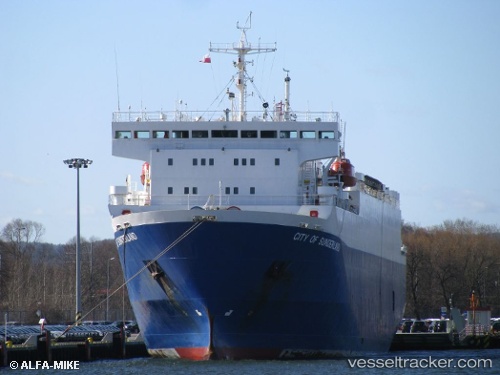
 HAJH AMINA
Current Status
Where is the vessel?
HAJH AMINA is currently in Near PSYTTALEIA, based on AIS data received less than 1h ago.
Latest AIS update:
Current position: 37.90532° N, 23.55725° E (Near PSYTTALEIA)
Average speed (last 7 days): Loading…
Average speed (last 30 days): Loading…
Vessel profile: HAJH AMINA is a Livestock Carrier with dimensions 20m x 100m.
This page combines live AIS, route history, probable destination signals, nearby traffic, and port activity for practical vessel monitoring.
The current position of vessel HAJH AMINA is 37.90532 lat / 23.55725 lng. Updated: 2026-04-05 15:56:23 UTCNearest reference points:
- Near PERAMA
- Near Drapetzona
- Near Keratsínion
Currently sailing under the flag of Togo ![]()
HAJH AMINA built in 1993 year
Deadweight:
2417 tDetails:
Live Vessel HAJH AMINA Analytics (details, animations, etc.)
Recent AIS points (UTC):
2026-04-05 10:14:23 UTC · 37.90532, 23.55784 · SOG 0.9 kn · COG 310°2026-04-05 11:59:24 UTC · 37.90568, 23.55696 · SOG 0.3 kn · COG 21°
2026-04-05 13:32:23 UTC · 37.90560, 23.55697 · SOG 0.2 kn · COG 342°
2026-04-05 15:56:23 UTC · 37.90532, 23.55725 · SOG 0.3 kn · COG 313°