 vesseltracker.com
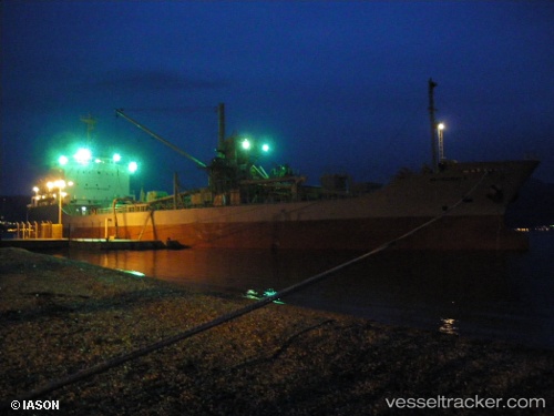
 CEPAT
CEPAT
Current Status
Where is the vessel?
CEPAT is currently in 18 nm NE of Panjang, based on AIS data received about 2h ago.
Latest AIS update:
Current position: 6.22481° S, 105.48823° E (18 nm NE of Panjang)
Average speed (last 7 days): Loading…
Average speed (last 30 days): Loading…
Vessel profile: CEPAT is a Cement Carrier with dimensions m x m.
This page combines live AIS, route history, probable destination signals, nearby traffic, and port activity for practical vessel monitoring.
The current position of vessel CEPAT is -6.22481 lat / 105.48823 lng. Updated: 2026-04-06 08:11:41 UTCNearest reference points:
- Near BAKAUHENI
- 29 nm SW of Tarahan
- Near Cigading
Currently sailing under the flag of Indonesia ![]()
CEPAT built in 1992 year
Deadweight:
8086 tDetails:
Live Vessel CEPAT Analytics (details, animations, etc.)
Recent AIS points (UTC):
2026-04-06 03:31:37 UTC · -5.83195, 106.08677 · SOG 10.5 kn · COG 269°2026-04-06 05:42:07 UTC · -6.03501, 105.83222 · SOG 9.4 kn · COG 230°
2026-04-06 07:36:28 UTC · -6.21962, 105.58954 · SOG 10.1 kn · COG 269°
2026-04-06 08:11:41 UTC · -6.22481, 105.48823 · SOG 10.7 kn · COG 271°