 vesseltracker.com
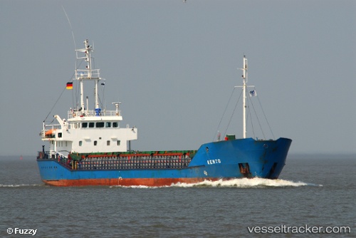
 ISLA TELLEZ
Current Status
Where is the vessel?
ISLA TELLEZ is currently in 76 nm W of Puerto Chacabuco, based on AIS data received about 3h ago.
Latest AIS update:
Current position: 45.74262° S, 74.60195° W (76 nm W of Puerto Chacabuco)
Average speed (last 7 days): Loading…
Average speed (last 30 days): Loading…
Vessel profile: ISLA TELLEZ is a General Cargo Ship with dimensions 12m x 81m.
This page combines live AIS, route history, probable destination signals, nearby traffic, and port activity for practical vessel monitoring.
The current position of vessel ISLA TELLEZ is -45.74262 lat / -74.60195 lng. Updated: 2026-04-17 18:11:59 UTCNearest reference points:
- 68 nm W of Puerto Chacabuco
- Near Melinka
Currently sailing under the flag of Chile ![]()
ISLA TELLEZ built in 1994 year
Deadweight:
2300 tDetails:
Live Vessel ISLA TELLEZ Analytics (details, animations, etc.)
Recent AIS points (UTC):
2026-04-17 13:51:59 UTC · -45.74238, -74.60245 · SOG 0 kn · COG 183°2026-04-17 14:10:57 UTC · -45.74229, -74.60209 · SOG 0 kn · COG 183°
2026-04-17 17:26:48 UTC · -45.74221, -74.60313 · SOG 0.1 kn · COG 310°
2026-04-17 18:11:59 UTC · -45.74262, -74.60195 · SOG 0.1 kn · COG 95°