 vesseltracker.com
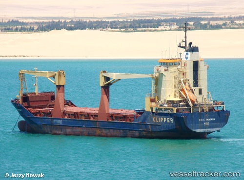
 FATIMA III
Current Status
Where is the vessel?
FATIMA III is currently in Near Kalianak Barat, based on AIS data received less than 1h ago.
Latest AIS update:
Current position: 7.18433° S, 112.70117° E (Near Kalianak Barat)
Average speed (last 7 days): Loading…
Average speed (last 30 days): Loading…
Vessel profile: FATIMA III is a General Cargo Ship with dimensions 19m x 101m.
This page combines live AIS, route history, probable destination signals, nearby traffic, and port activity for practical vessel monitoring.
The current position of vessel FATIMA III is -7.18433 lat / 112.70117 lng. Updated: 2026-04-07 15:40:13 UTCNearest reference points:
- Near Tanjung Perak
- Near Kalianak Barat
- Near GRESIK
Currently sailing under the flag of Indonesia ![]()
FATIMA III built in 1994 year
Deadweight:
7147 tDetails:
Live Vessel FATIMA III Analytics (details, animations, etc.)
Recent AIS points (UTC):
2026-04-07 09:58:17 UTC · -7.18455, 112.69940 · SOG 0 kn · COG -1°2026-04-07 12:22:17 UTC · -7.18449, 112.70087 · SOG 0 kn · COG -1°
2026-04-07 13:34:12 UTC · -7.18406, 112.70121 · SOG 0 kn · COG -1°
2026-04-07 15:40:13 UTC · -7.18433, 112.70117 · SOG 0.1 kn · COG -1°