 vesseltracker.com
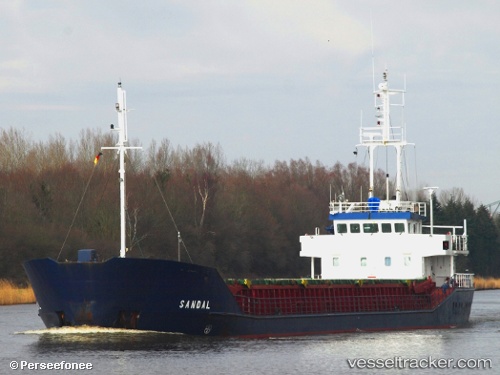
 SANDAL
Current Status
Where is the vessel?
SANDAL is currently in Near Mersin-Free Zone, based on AIS data received about 2h ago.
Latest AIS update:
Current position: 36.80161° N, 34.64997° E (Near Mersin-Free Zone)
Average speed (last 7 days): Loading…
Average speed (last 30 days): Loading…
Vessel profile: SANDAL is a General Cargo with dimensions m x m.
This page combines live AIS, route history, probable destination signals, nearby traffic, and port activity for practical vessel monitoring.
The current position of vessel SANDAL is 36.80161 lat / 34.64997 lng. Updated: 2026-04-18 04:02:21 UTCNearest reference points:
- Near Mersin-Free Zone
- Near Mersin
- Near YUMURTALIC
Currently sailing under the flag of Tuvalu ![]()
Details:
Live Vessel SANDAL Analytics (details, animations, etc.)
Recent AIS points (UTC):
2026-04-17 21:29:21 UTC · 36.80163, 34.64996 · SOG 0 kn · COG 269°2026-04-17 23:53:22 UTC · 36.80161, 34.64993 · SOG 0 kn · COG 269°
2026-04-18 01:47:23 UTC · 36.80162, 34.64995 · SOG 0 kn · COG 269°
2026-04-18 04:02:21 UTC · 36.80161, 34.64997 · SOG 0 kn · COG 269°