 vesseltracker.com
 Tanto Alam
Current Status
Where is the vessel?
Tanto Alam is currently in Near Bangkalan, based on AIS data received about 2h ago.
Latest AIS update:
Current position: 6.88427° S, 112.80043° E (Near Bangkalan)
Average speed (last 7 days): Loading…
Average speed (last 30 days): Loading…
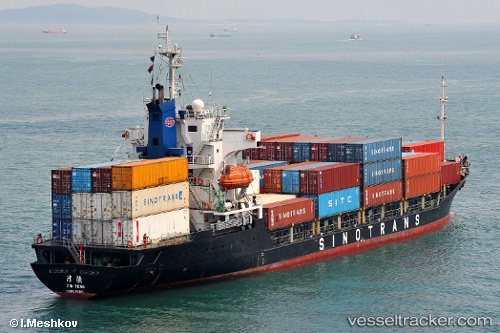
Vessel profile: Tanto Alam is a Container Ship with dimensions 107m x 17m.
This page combines live AIS, route history, probable destination signals, nearby traffic, and port activity for practical vessel monitoring.
The current position of vessel Tanto Alam is -6.88427 lat / 112.80043 lng. Updated: 2026-04-15 05:25:49 UTCNearest reference points:
- 11 nm W of Madura Terminal
- Near Bangkalan
- 10 nm W of Poleng
Currently sailing under the flag of Indonesia ![]()
Tanto Alam built in 1994 year
Deadweight:
5880 tDetails:
Live Vessel Tanto Alam Analytics (details, animations, etc.)
Recent AIS points (UTC):
2026-04-14 22:10:46 UTC · -6.88383, 112.80023 · SOG 0.1 kn · COG -1°2026-04-14 23:22:46 UTC · -6.88363, 112.80018 · SOG 0 kn · COG -1°
2026-04-15 03:22:48 UTC · -6.88417, 112.80032 · SOG 0.1 kn · COG -1°
2026-04-15 05:25:49 UTC · -6.88427, 112.80043 · SOG 0.1 kn · COG -1°