 vesseltracker.com
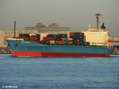
Strait Mas
Current StatusWhere is the vessel?
Strait Mas is currently in Near BATU AMPAR, based on AIS data received about 420d ago.
Latest AIS update:
Current position: 1.15781° N, 103.97499° E (Near BATU AMPAR)
Average speed (last 7 days): Loading…
Average speed (last 30 days): Loading…
Vessel profile: Strait Mas is a Container Ship with dimensions 52m x 163m.
This page combines live AIS, route history, probable destination signals, nearby traffic, and port activity for practical vessel monitoring.
The current position of vessel Strait Mas is 1.15781 lat / 103.97499 lng. Updated: 2025-02-06 13:45:12 UTCNearest reference points:
- Near BATU AMPAR
- Near Sambu
- Near Sekupang
Details:
Live Vessel Strait Mas Analytics (details, animations, etc.)
Recent AIS points (UTC):
2025-02-06 13:45:12 UTC · 1.15781, 103.97499 · SOG 0.2 kn · COG 37°