 vesseltracker.com
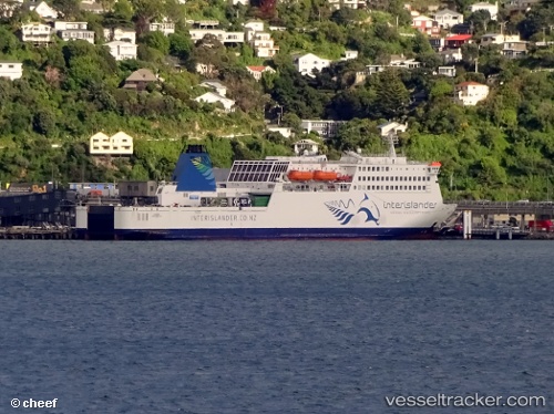
 Kaitaki
Current Status
Where is the vessel?
Kaitaki is currently in Near Island Bay, based on AIS data received about 2h ago.
Latest AIS update:
Current position: 41.43145° S, 174.73441° E (Near Island Bay)
Average speed (last 7 days): Loading…
Average speed (last 30 days): Loading…
Vessel profile: Kaitaki is a Passenger Ro Ro Cargo Ship with dimensions 180m x 24m.
This page combines live AIS, route history, probable destination signals, nearby traffic, and port activity for practical vessel monitoring.
The current position of vessel Kaitaki is -41.43145 lat / 174.73441 lng. Updated: 2026-03-31 05:34:21 UTCNearest reference points:
- Near WAIKAWA
- Near Renwick
- Near Nelson
Currently sailing under the flag of New Zealand ![]()
Kaitaki built in 1995 year
Deadweight:
5794 tDetails:
Live Vessel Kaitaki Analytics (details, animations, etc.)
Recent AIS points (UTC):
2026-03-31 00:17:46 UTC · -41.27614, 174.01102 · SOG 6.4 kn · COG 210°2026-03-31 01:21:09 UTC · -41.28384, 174.00665 · SOG 0 kn · COG 43°
2026-03-31 04:22:28 UTC · -41.26712, 174.40579 · SOG 16.6 kn · COG 136°
2026-03-31 05:34:21 UTC · -41.43145, 174.73441 · SOG 15.9 kn · COG 61°