 vesseltracker.com
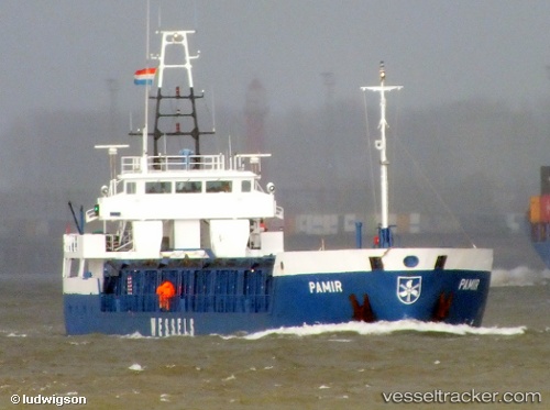
 LUCKY SEA
Current Status
Where is the vessel?
LUCKY SEA is currently in 11 nm W of Ballinskelligs, based on AIS data received about 2h ago.
Latest AIS update:
Current position: 51.73615° N, 10.55528° W (11 nm W of Ballinskelligs)
Average speed (last 7 days): Loading…
Average speed (last 30 days): Loading…
Vessel profile: LUCKY SEA is a General Cargo with dimensions m x m.
This page combines live AIS, route history, probable destination signals, nearby traffic, and port activity for practical vessel monitoring.
The current position of vessel LUCKY SEA is 51.73615 lat / -10.55528 lng. Updated: 2026-03-26 20:11:43 UTCNearest reference points:
- Near CASTLETOWN BEARHAVEN
- Near Skull
- 20 nm SE of Wunschendorf
Currently sailing under the flag of Palau ![]()
Details:
Live Vessel LUCKY SEA Analytics (details, animations, etc.)
Recent AIS points (UTC):
2026-03-26 13:58:22 UTC · 52.25863, -10.40608 · SOG 6.6 kn · COG 234°2026-03-26 15:42:41 UTC · 52.15833, -10.62443 · SOG 4.7 kn · COG 233°
2026-03-26 18:18:53 UTC · 51.94623, -10.70115 · SOG 7.4 kn · COG 162°
2026-03-26 20:11:43 UTC · 51.73615, -10.55528 · SOG 7.3 kn · COG 151°