 vesseltracker.com
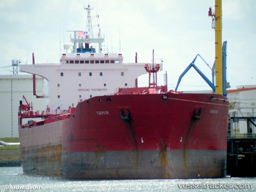
 QUAR
QUAR
Current Status
Where is the vessel?
QUAR is currently in 45 nm NE of Ras Tannurah, based on AIS data received about 18h ago.
Latest AIS update:
Current position: 27.32026° N, 50.52595° E (45 nm NE of Ras Tannurah)
Average speed (last 7 days): Loading…
Average speed (last 30 days): Loading…
Vessel profile: QUAR is a Oil/Chemical Tanker with dimensions m x m.
This page combines live AIS, route history, probable destination signals, nearby traffic, and port activity for practical vessel monitoring.
The current position of vessel QUAR is 27.32026 lat / 50.52595 lng. Updated: 2026-04-22 05:59:40 UTCNearest reference points:
- 13 nm NE of AL JUBAIL
- Near Al Jubayl
- Near Ad Dammam
Currently sailing under the flag of Comoros ![]()
Details:
Live Vessel QUAR Analytics (details, animations, etc.)
Recent AIS points (UTC):
2026-04-22 05:59:40 UTC · 27.32026, 50.52595 · SOG 0 kn · COG -1°2026-04-22 05:59:40 UTC · 27.32026, 50.52595 · SOG 0 kn · COG -1°
2026-04-22 05:59:40 UTC · 27.32026, 50.52595 · SOG 0 kn · COG -1°
2026-04-22 05:59:40 UTC · 27.32026, 50.52595 · SOG 0 kn · COG -1°