 vesseltracker.com
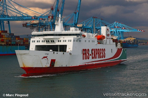
 Kattegat
Current Status
Where is the vessel?
Kattegat is currently in Near Algeciras, based on AIS data received about 1h ago.
Latest AIS update:
Current position: 36.14090° N, 5.43060° W (Near Algeciras)
Average speed (last 7 days): Loading…
Average speed (last 30 days): Loading…
Vessel profile: Kattegat is a Passenger Ro Ro Cargo Ship with dimensions 137m x 24m.
This page combines live AIS, route history, probable destination signals, nearby traffic, and port activity for practical vessel monitoring.
The current position of vessel Kattegat is 36.14090 lat / -5.43060 lng. Updated: 2026-04-18 09:28:44 UTCNearest reference points:
- Near Algeciras
- Near Palmones
- Near Waterport
Currently sailing under the flag of Cyprus ![]()
Kattegat built in 1996 year
Deadweight:
4030 tDetails:
Live Vessel Kattegat Analytics (details, animations, etc.)
Recent AIS points (UTC):
2026-04-18 03:34:41 UTC · 36.14088, -5.43056 · SOG 0 kn · COG 1°2026-04-18 05:49:42 UTC · 36.14089, -5.43063 · SOG 0 kn · COG 1°
2026-04-18 07:43:41 UTC · 36.14089, -5.43057 · SOG 0 kn · COG 1°
2026-04-18 09:28:44 UTC · 36.14090, -5.43060 · SOG 0 kn · COG 1°