 vesseltracker.com
Sunny Link
Current StatusWhere is the vessel?
Sunny Link is currently in 22 nm E of Garcia Hernandez, based on AIS data received less than 1h ago.
Latest AIS update:
Current position: 9.62762° N, 124.66838° E (22 nm E of Garcia Hernandez)
Average speed (last 7 days): Loading…
Average speed (last 30 days): Loading…
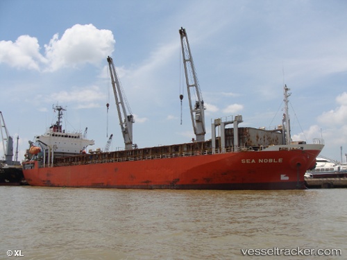
Vessel profile: Sunny Link is a General Cargo Ship with dimensions 20m x 111m.
This page combines live AIS, route history, probable destination signals, nearby traffic, and port activity for practical vessel monitoring.
The current position of vessel Sunny Link is 9.62762 lat / 124.66838 lng. Updated: 2026-04-21 21:47:30 UTCNearest reference points:
- Near Hilongos
- 16 nm E of Danao
- Near Mandaue, Cebu
Details:
Live Vessel Sunny Link Analytics (details, animations, etc.)
Recent AIS points (UTC):
2026-04-21 18:08:50 UTC · 9.19181, 124.60146 · SOG 7.8 kn · COG -1°2026-04-21 19:46:10 UTC · 9.38837, 124.62272 · SOG 7.1 kn · COG -1°
2026-04-21 20:23:20 UTC · 9.46229, 124.63346 · SOG 7.1 kn · COG -1°
2026-04-21 21:47:30 UTC · 9.62762, 124.66838 · SOG 7.2 kn · COG -1°