 vesseltracker.com
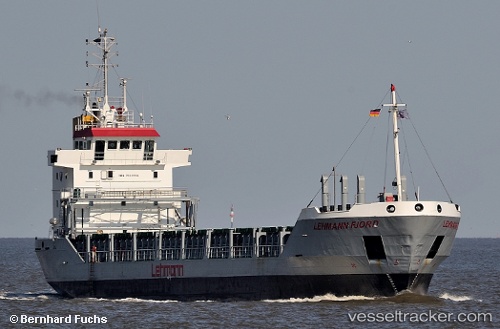
 Griftbor
Current Status
Where is the vessel?
Griftbor is currently in 44 nm W of KASKINEN, based on AIS data received about 1h ago.
Latest AIS update:
Current position: 62.07679° N, 19.75427° E (44 nm W of KASKINEN)
Average speed (last 7 days): Loading…
Average speed (last 30 days): Loading…
Vessel profile: Griftbor is a Multi Purpose Carrier with dimensions 89m x 12m.
This page combines live AIS, route history, probable destination signals, nearby traffic, and port activity for practical vessel monitoring.
The current position of vessel Griftbor is 62.07679 lat / 19.75427 lng. Updated: 2026-03-31 15:32:02 UTCNearest reference points:
- 20 nm S of HOLMSUND
- Near Finström
- Near MARIEHAMN
Currently sailing under the flag of Antigua Barbuda ![]()
Griftbor built in 1995 year
Deadweight:
4149 tDetails:
Live Vessel Griftbor Analytics (details, animations, etc.)
Recent AIS points (UTC):
2026-03-31 09:57:12 UTC · 62.94881, 20.17533 · SOG 9.6 kn · COG 190°2026-03-31 11:24:33 UTC · 62.72981, 20.07750 · SOG 9.4 kn · COG 190°
2026-03-31 13:33:12 UTC · 62.39039, 19.90834 · SOG 9.7 kn · COG 193°
2026-03-31 15:32:02 UTC · 62.07679, 19.75427 · SOG 9.6 kn · COG 191°